


Memory-Map – GPS Mapping Apps for PC, iPhone, iPad, Mac, Android
Get the App

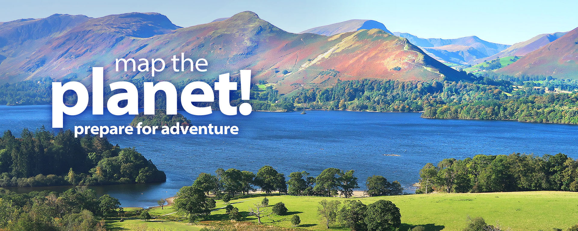
![]()
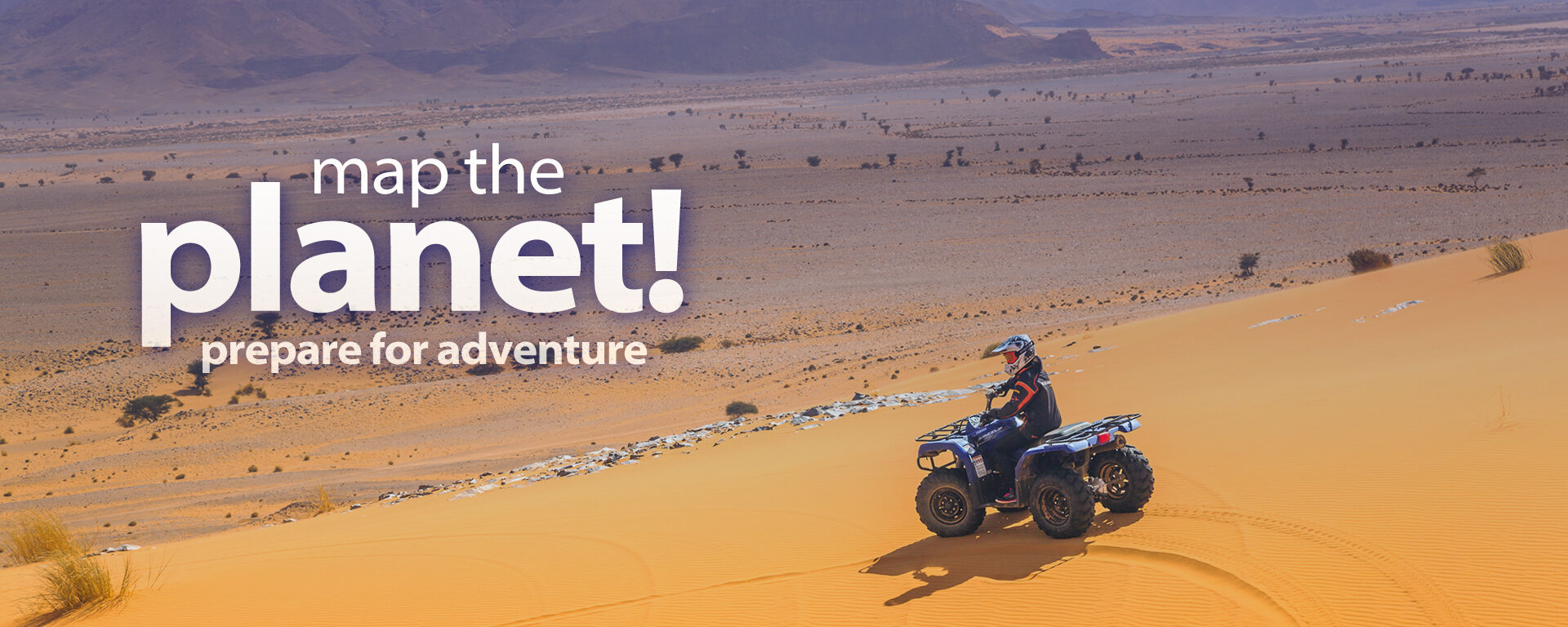
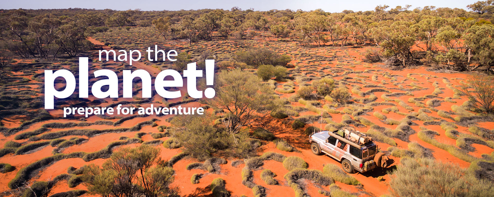
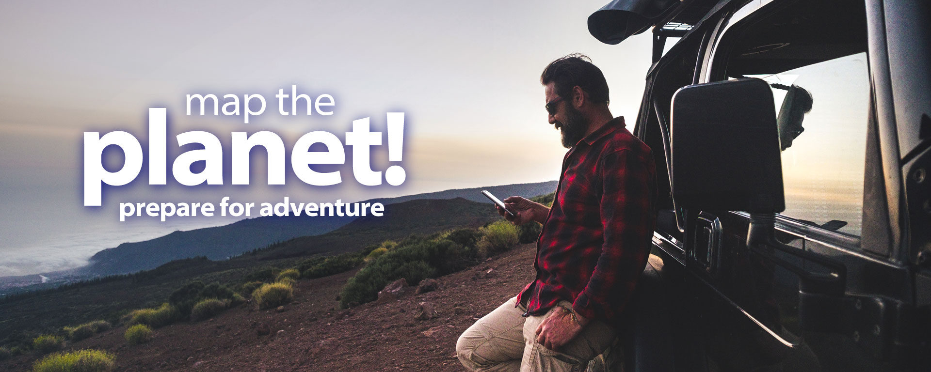
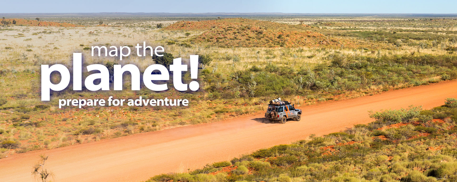
Choose from a world catalog of topographic maps, nautical charts, adventure maps and more…
Feedback
Used it for years & years. Still the best mapping software l know
– Robert Massey
Feedback
Love it. I use it all the time. Very useful to have on my phone. I can't tell you how often it has saved us. Thanks memory map.
– Lorraine Naylor
Feedback
I use a black view 9100 phone with its huge battery. I get easily four days in the mountains without a recharge. This app is absolutely fabulous with that potential.
– Bill White
Feedback
Pretty much the gold standard in the Rural Fire Service.
– James Lee
Feedback
Absolutely brilliant mapping application, perfect for planning wilderness trips. It keeps getting better too with every update. Support team are very understanding and helpful.
– Wayne Tyrril
Feedback
The iPad app is a truly excellent, competent product, representing real value for money.
– Andrew Knight
Feedback
This is one of the most intuitive programs I have ever used - and I've been in the game for a long while.
– Lee Belbin
Feedback
I must say that Memory-Map support has been fantastic over the 4 years or so that I have been using the product.
– Adam Hummerston
Feedback
I purchased MM some time ago and bought the Topo maps. I have to say it has made navigation a much better and enjoyable experience.
– Rob Wildman
Feedback
I am VERY impressed with its ease of use and speed (and I have used just about all of the programs out there!).
– Paul McCarron
Feedback
I now cannot live without my Memory-Map, I bought it for my camping trips, but now use it pretty much daily. It is well worth the money.
– Reece Honick